
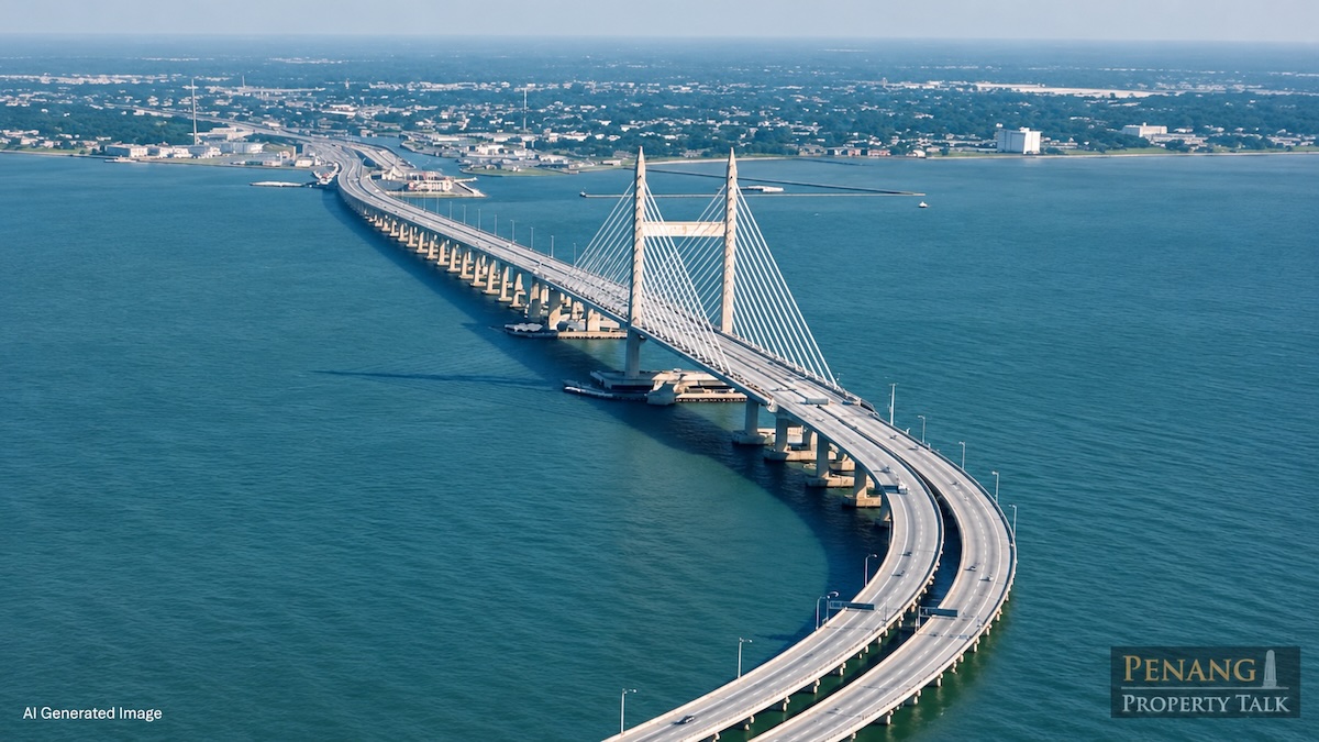
Penang's proposal to replace its long-planned undersea tunnel with a third bridge raises questions over which option would be more practical, cost-effective and sustainable for the state's transportation needs.
The state government is studying an elevated bridge as an alternative to the proposed 6.5km undersea tunnel connecting Gurney Drive on the island to Bagan Ajam on the mainland.
State Infrastructure, Transport and Digital Committee chairman Zairil Khir Johari said the proposed realignment would shift the route northwards to accommodate Penang Port's expansion plans while avoiding disruption to port operations and vessel navigation.
The conceptual design study is underway and will be presented to the Penang Port Commission (PPC) for feedback before further consideration.
The assessment will examine technical feasibility, financial implications, traffic needs, maritime safety and the project's long-term economic benefits.
Does Penang still need another road crossing?
The proposal comes as the Mutiara Line Light Rail Transit (LRT) project prepares to connect Penang Island with Penang Sentral in Butterworth through a rail bridge.
However, Zairil said the LRT bridge would exclusively serve trains and would not accommodate private vehicles, meaning it would not directly address congestion on existing road bridges.
He maintained that another road crossing remained necessary, particularly to accommodate growing traffic demand in northern Seberang Perai.
The state has also requested that the proposed third link incorporate pedestrian walkways and dedicated cycling lanes.
While the LRT would improve public transport connectivity, the proposed road crossing would serve a different purpose. However, the state must still demonstrate how additional road capacity would reduce congestion rather than simply redirect traffic to other bottlenecks.
Bridge versus tunnel: What are the trade-offs?
A bridge generally offers easier access for structural inspections and repairs, without requiring the extensive ventilation, drainage and emergency evacuation systems associated with underwater tunnels.
However, bridges require substantial supporting structures and foundations, which can affect marine environments. They are also exposed to strong winds, saltwater corrosion and severe weather.
An undersea tunnel, meanwhile, preserves surface-level shipping routes without requiring vessels to navigate around supporting piers or accommodate bridge clearance restrictions.
Its disadvantages include more complicated construction, specialised ventilation and fire safety systems, water ingress risks and potentially demanding maintenance requirements.
Neither option is automatically cheaper or environmentally friendlier. Costs depend on seabed conditions, geological stability, construction methods, route alignment and long-term operating expenses.
For Penang, the expansion of its port facilities makes maritime navigation a particularly important consideration.
What can other countries teach Penang?
International projects demonstrate that bridges and tunnels can also be combined to overcome geographical and logistical constraints.
Japan's 15.1km Tokyo Bay Aqua-Line, for example, combines a 9.5km underwater tunnel with a 4.4km bridge connecting Kawasaki and Kisarazu.
The tunnel accommodates the area's maritime requirements, while the bridge provides sufficient clearance for passing vessels. An artificial island connects the two structures.
Similarly, Denmark and Sweden's 15.9km Øresund Fixed Link combines an 8km bridge, a 4km underwater tunnel and an artificial island.
The tunnel was necessary to preserve shipping access and avoid interference with aircraft operations at Copenhagen Airport. The crossing also accommodates both road and rail traffic.
Another example is China's Hong Kong-Zhuhai-Macao Bridge, which incorporates a 6.7km underwater tunnel within a wider 55km bridge-and-tunnel system.
The tunnel allows vessels to navigate through an important shipping channel without obstruction from the main bridge structure.
These projects demonstrate that infrastructure design must account for shipping requirements, surrounding developments and geographical conditions rather than simply prioritising construction costs.
They also raise the possibility of whether a hybrid design could be considered for Penang, although its suitability would depend on local engineering assessments.
The financial question
The proposed third link is part of the broader RM6.3 billion Penang Transport Master Plan infrastructure package, which involves both land-swap arrangements and a toll concession.
Zairil clarified during the November 2 state assembly sitting that the financing model was not solely dependent on land transfers, with the toll concession serving as an adjustable component through changes to concession periods or toll rates.
However, replacing the original tunnel concept with a bridge raises questions over whether the existing financial arrangements remain appropriate.
The RM6.3 billion figure covers the wider infrastructure package and should not be treated as the construction cost of the tunnel alone.
The state should therefore publish revised cost estimates, financing arrangements and projected maintenance expenses before committing to the alternative design.
Ultimately, Penang's decision should not be based on whether a bridge is easier to maintain or a tunnel better accommodates shipping.
The government must demonstrate which option offers the greatest long-term public benefit, taking into account construction costs, environmental impact, maritime safety, traffic demand and financial sustainability.
With the conceptual design still under review, the public deserves a transparent comparison before another major infrastructure commitment is made.